Severe Weather Warning - HEAVY RAINFALL
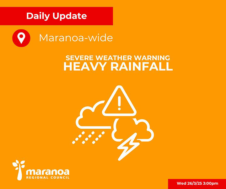
Wednesday 26 March 2025 – 3:00 PM
Council is continuing to monitor the situation in consultation with the Bureau of Meteorology (BoM). Forecasts have been updated and we wanted to share the latest information with the community.
A slow-moving weather system has stalled over western Queensland, bringing widespread rainfall, with the heaviest falls currently focused to the west of our region.
This system is expected to gradually shift east from Friday into the weekend, increasing the potential heavier rainfall across the Maranoa.
Forecast Highlights – Maranoa Region:
Widespread rainfall is forecast through to Friday, with upper rainfall totals more likely in the western parts of the region (e.g. Mitchell, Mungallala and surrounds).
- Wednesday to Friday: Rainfall totals of 10–45 mm daily, with isolated falls up to 70 mm or more
- Saturday–Sunday: Rain easing to showers, with lower daily totals expected
Current Local Conditions: Water Over Roads On Major Links
- Mitchell-St George Road
- Mitchell-Bollon Road
- Middle Road
Caution is advised. Do not enter flooded areas.
Important Community Information:
As the system progresses through the region, more road closures are likely, especially in flood-prone and low-lying areas. Please:
Plan Ahead for Travel:
- Monitor changing weather and road conditions
- Allow extra time and avoid unnecessary travel
- Never drive through floodwaters – If it’s flooded, forget it.
Stay Informed:
- BoM Warnings & Forecasts: www.bom.gov.au
- Council Emergency Dashboard (including Road Closure Information): dashboard.maranoa.qld.gov.au
The next community update will be provided at 3:00 PM Thursday 27 March, or earlier if required.